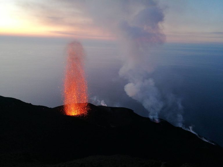
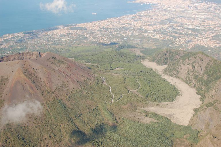
This program includes a short theoretical introduction and regular fieldwork with faculty guidance. Data collected on the field course will be used in later parts of the module. The emphasis is on understanding the processes underpinning volcanism and eruption styles, and the interpretation of these processes from volcanic products.
radiometric dating of igneous and metamorphic rocks;
isotopic evolution of the Earth, origin and distribution of chemical heterogeneities in the mantle and evolution of continental crust;
pseudo-isochrons and mantle isochrons;
melt generation processes, timescales of storage and crystallization of magmas within the crust through micro-analytical elemental and isotopic profiles;
genesis of mafic igneous rocks;
genesis of granites;
genesis of ore deposits;
weathering of igneous rocks;
ocean floor metamorphism;
open-system evolution processes of magmas (crustal contamination, mixing) by means of combined radiogenic and stable isotopes;
characterization and modeling of magmatic sources in variable geodynamic contexts, both ancient and contemporaneous: mid-ocean ridges, ocean islands (hot spots), oceanic and continental subduction zones, continental flood basalts, potassic and ultrapotassic magmatic zones;
combined use of stratigraphy, geochronology, trace element and isotope variations (chemostratigraphy);
combined use of isotopes and trace elements in tephrostratigraphy and tephrochronology;
examples from worldwide magmatic areas.
The course will include a significant period of laboratory work during which the students will prepare and analyze some volcanic rock samples with the aim of producing isotope data that will be interpreted in combination with major and trace elements data.
The second part of the course will describe: a) sources of contamination, hydrogeochemical behavior of contaminants, and hydrothermal and mineralization processes of groundwater in volcanic environments; b) natural and anthropogenic groundwater contaminations in volcanic environments and assessment methods of natural background values and threshold values for groundwater; c) classification of geothermal systems; d) use of volcanic groundwater as natural mineral and thermal waters; f) use of volcanic aquifers as low-enthalpy geothermal energy resources (open-loop and closed-loop geothermal systems with use of heat pumps in urban environments).