Blog

Volcano hazard and risk assessment

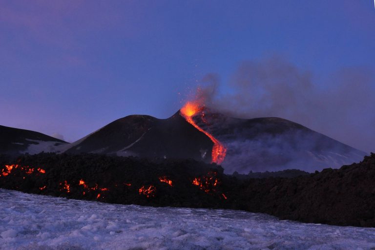
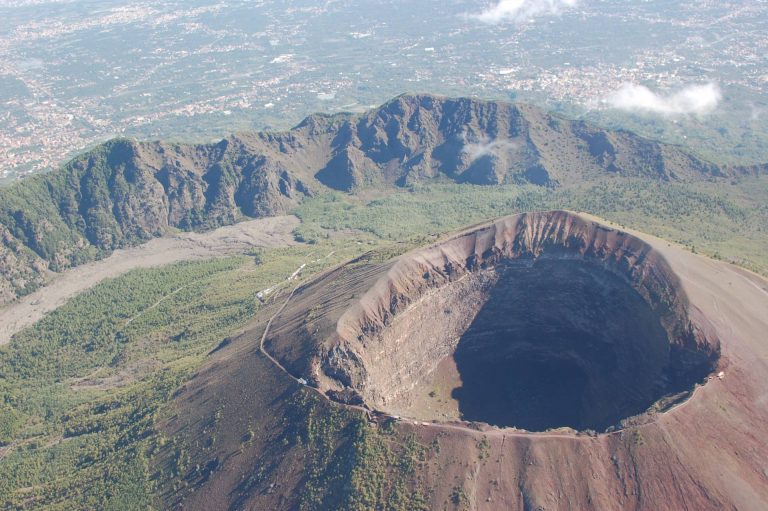
The probabilistic approach to volcanic hazard (PVHA) and eruption forecasting; physical modeling of the impact of volcanic eruptions (lava flows, ash dispersal, pyroclastic flows, gas emissions, volcano lakes, mud flows, tsunamis). The conditional PVHA: Eruption scenarios. Effects of eruptions on the health and the environment. The volcanic risk and the role of scientists. Examples from European and International volcanoes.
Geoarchaeology in volcanic areas

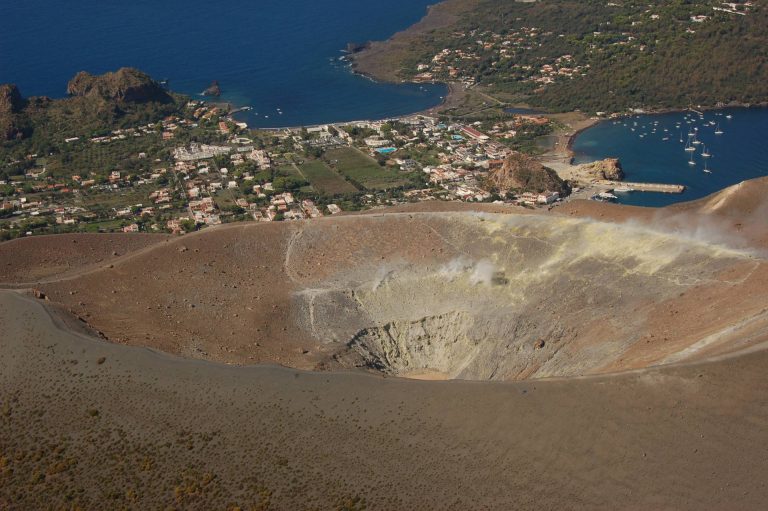
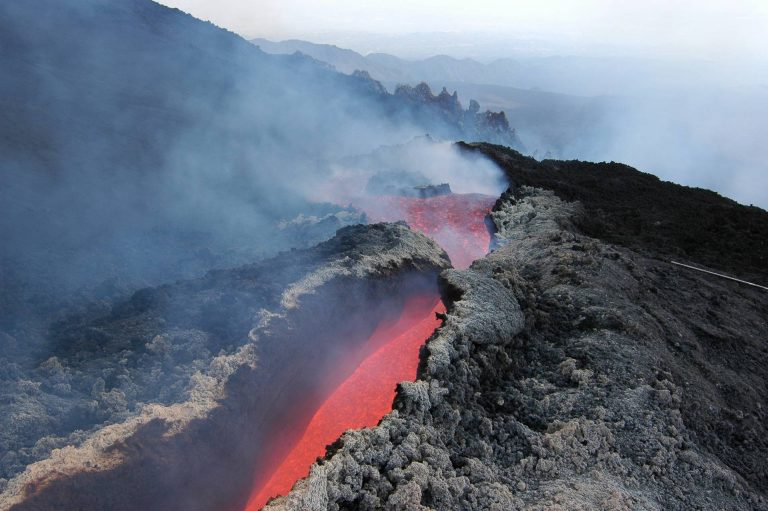
Despite their reputation as agents of destruction, explosive volcanoes are the most effective preservers of ancient human traces and their environmental context. Apart from providing valuable time markers, large-volume eruptions can quickly and thoroughly bury settlements and artifacts, soils and landforms, protecting them from subsequent damage. Many examples of unearthed important sites are present in Campania (i.e. the Bronze Age village of Nola and the Roman towns of Pompeii and Herculaneum) as in other part of the world. Their study can give an inestimable contribution to archaeological, historical and palaeo-environmental research.

Experimental petrology

The history of experimental petrology and the main techniques employed in the experimental study of magmatic processes: high-T furnace, quench and gas-mixing furnace, cold-seal vessel, internally heated gas vessel, piston cylinder, multi-anvil, diamond anvil etc. Experimental petrology and phase diagrams: the phase rule, two and three components systems and their petrological applications.

GIS and Remote Sensing in volcanic areas

Introduction to Geographical Information System (GIS) and use of open-source GIS software. Introduction to proximal remote sensing monitoring techniques and their application. Elements of topography. Instruments and technologies for topographic survey: Total Station (TS), Terrestrial Laser Scanner (TLS), terrestrial photogrammetry, Unmanned Aerial Vehicle (UAV), GNSS techniques, thermography. Introduction to satellite remote sensing techniques and its application. Interferometry SAR (InSAR) technique, Analysis and interpretation of multispectral data.