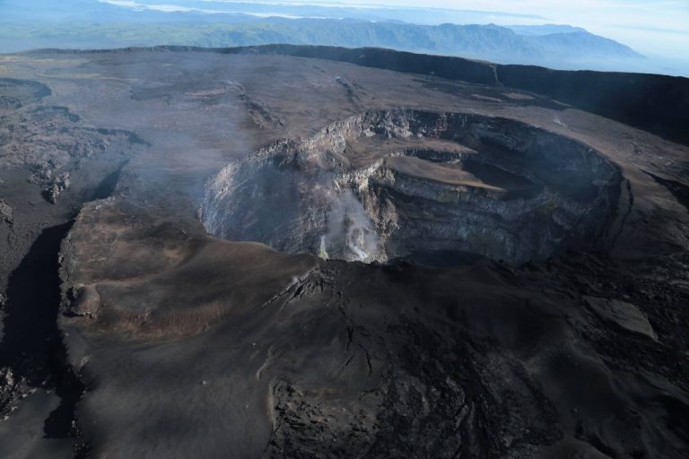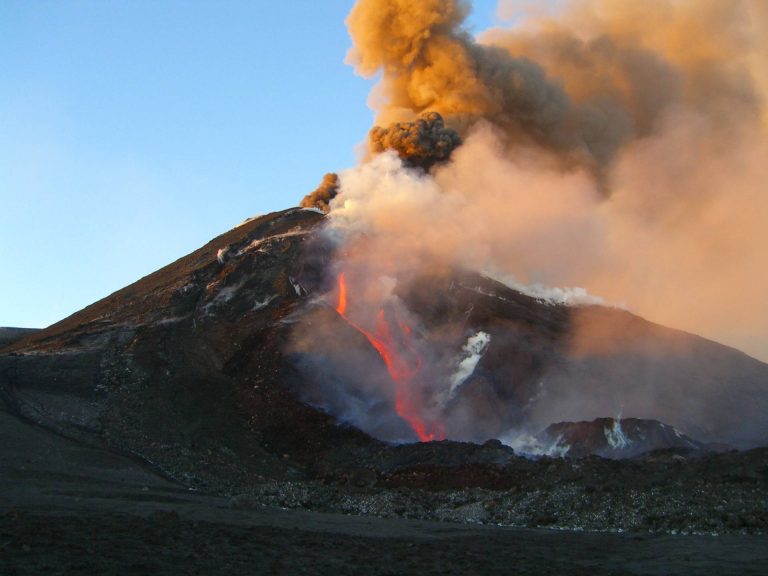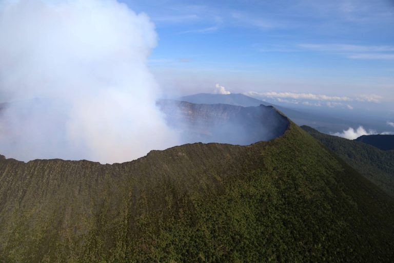
Geophysical exploration of volcanic systems
The methods of Applied Geophysics (their classification and applications): airborne and ground magnetic, electromagnetic and gravity surveys, satellite remote sensing, GPS network, and resistivity and seismic surveys. Procedures and techniques of prospections and organization of a geophysical survey in volcanic areas. Potential field methods (gravimetric and magnetometric). Electrical methods (direct current resistivity, induced polarization). Electromagnetic methods (with controlled source FD). Seismic methods (refraction and reflection). Other methods and integration of geophysical methods. Hints on processing, filtering, and single and joint inversion of geophysical data. Critical geophysical targets include the inner volcanic structure, the identification of shallow reservoir systems, changes in active hydrothermal systems, the deep thermal deformation sources and the temporal evolution of the volcanic system.