Blog

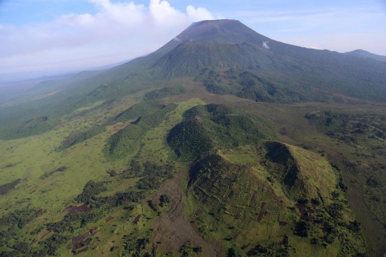
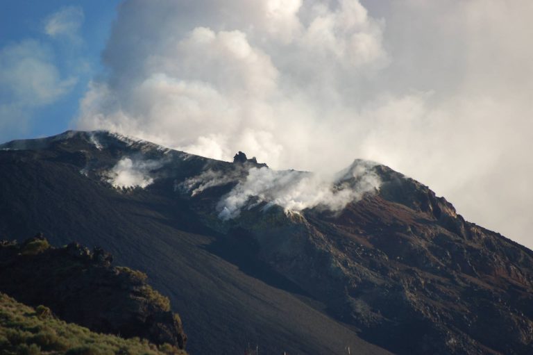
Volcanic landforms and landscapes

Main volcanic landforms and their evolution; reconstruction and morphometric characterization of monogenetic cones (tuff/cinder/scoria cone and rings) and complex volcanic edifices (basaltic plateaux, volcanic fields, shield volcanoes, strato-volcanoes, fissure volcanoes; calderas) by means of remote sensing and GIS-based morphometric analysis. Drainage on volcanoes and related erosion features and hazard. The volcanic landscape of Napoli and its surroundings: geomorphological and geoarchaeological evidence of interactions between humans and natural processes...
Slope stability in volcanic areas

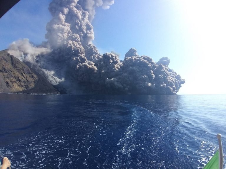
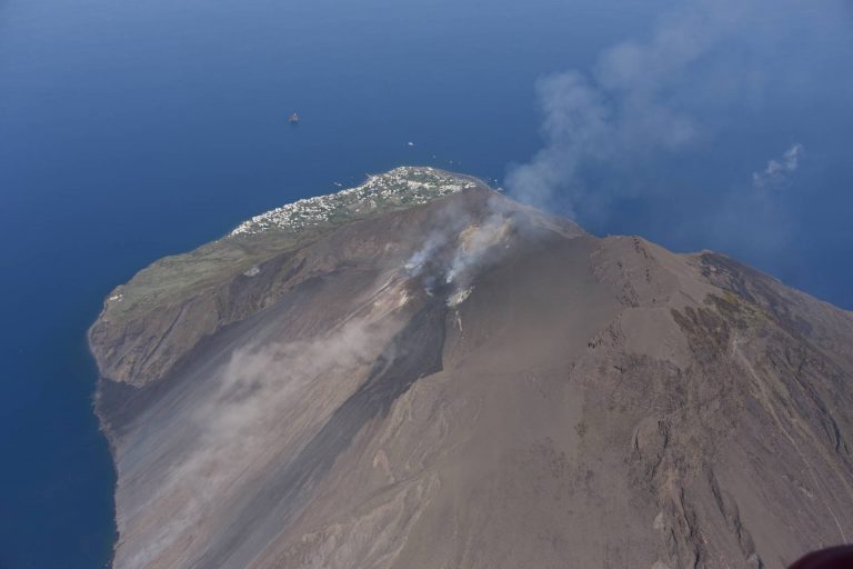
Classifications of slope movements. Landslide causes and triggers. Landslides typical of volcanic and peri-volcanic areas: role of matric suction. Methods for slope stability analyses. Landslide monitoring and remedial measures. Landslide susceptibility, hazard and risk.

Volcanotectonics

Volcanotectonics is a multidisciplinary scientific field that joins the principles and methods of structural geology, tectonics, geodesy, and physics to volcanological research. Introduction to volcanotectonics. Methods of volcanotectonics (structural geology, models, remote sensing, geodesy). Deformation related to magmatic intrusion. Volcanotectonic processes: conditions for formation and propagation of dikes and sills. Formation of magma chambers and reservoirs. Deformation of volcanoes (faults in volcanic environments, caldera collapse, resurgence, sector collapse). Regional tectonic control on volcanism. Modelling of ground deformation. Use of Matlab and deformation models such as Mogi, Okada, and applications to case studies. Fieldtrip